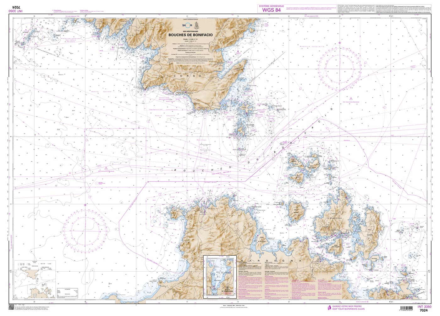
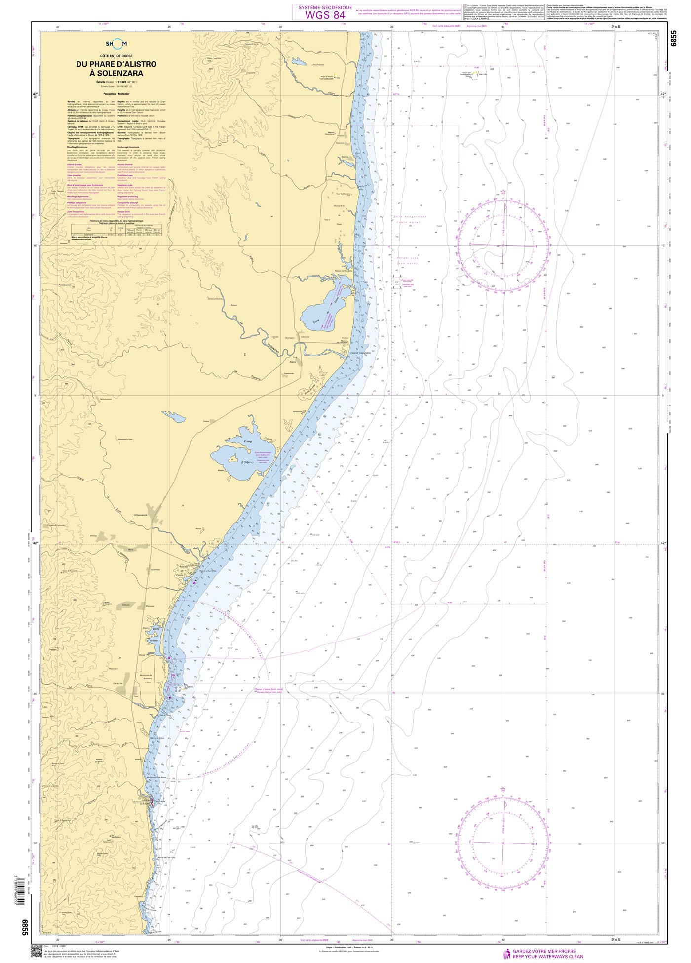
Shom 7024 - INT 3350 Bouches de Bonifacio

Kaart ID: Shom 7024
Uitgave: Edition n° 5 - 2012 - Dernière correction : 52 - carte marine classique, non pliée, format A0, tirage 2022
Uitgave datum: 14.07.2012
Schaal 1:51.500

€ 38,10*

Onmiddellijk beschikbaar (Print on Demand), levertijd 1-3 dagen


Productnummer: 20868

Beschrijving

The official French chart 7024 from the Shom is a nautical chart for the region INT 3350 Bouches de Bonifacio.

The chart contains

  • Scale of 1:51500
  • Stable and water-repellent paper
  • Official French data
  • WGS 84

Chart format

The French nautical charts are printed on customer’s request (print on demand service). This has the advantage that ongoing corrections are taken into account, so the latest version of the Chart is always available.

The charts provide an overview of a specific region. They are well suited for planning a trip. All charts are printed on stable, water-repellent paper. This chart has the following edition information:
Edition n° 5 - 2012 - Dernière correction : 52 - carte marine classique, non pliée, format A0, tirage 2022

Update

The Shom charts are published in new editions irregularly, so the date of correction may be several years ago. You can correct the charts manually with the nautical news.

The Shom

The Shom is a French agency belonging to the country's Ministry of Defence. It is the heir to the world's first official hydrographic service, which dates back to 1720. Shom's portfolio includes almost 900 paper charts. It has its headquarters in the city of Brest in Brittany.

Our recommendation

If you value more up-to-date charts and also digital versions, we recommend the atlases from NV Charts.

Gebied preview

Met behulp van onze gebiedspreview kunt u een indruk krijgen over welke geografische regio het product gaat of welke gebieden een zeekaart bestrijkt.

Verwante producten bij dit artikel

Verwante producten bij dit artikel

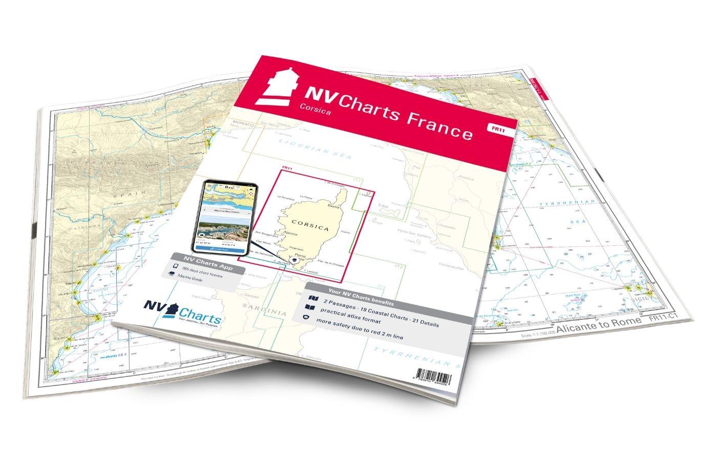
NV Charts France FR11 - Corsica
De NV Charts Kaarten Atlas FR11 dekt de prachtige eiland Corsica volledig. Dankzij de duidelijke lay-out kunnen pleziervaarders snel aanvaarroutes, havens en ankerplaatsen vinden en worden ze geïnform

€ 64,99*
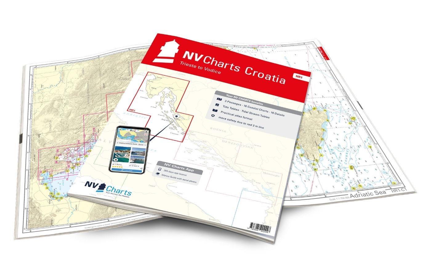
NV Charts Croatia HR 1: Trieste to Vodice
Wilt u de noordelijke Adriatische Zee ontdekken? Onze kaartenset NV Charts HR1 begeleidt u van Istrië tot Noord-Dalmatië. Dankzij de overzichtelijke structuur vindt de recreatieve schipper snel toegan

€ 64,99*
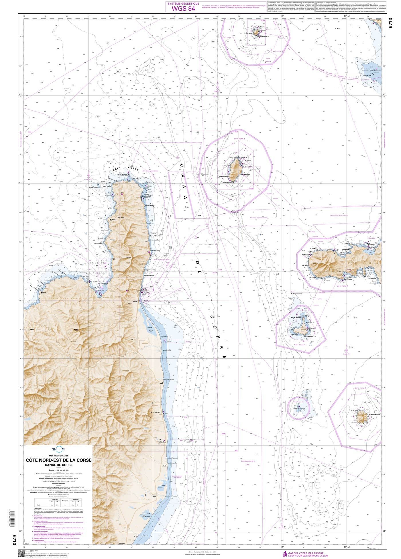
Shom 6713 - Côte Nord-Est de la Corse - Canal de Corse
The official French chart 6713 from the Shom is a nautical chart for the region Côte Nord-Est de la Corse. The chart contains Scale of 1:152000 Stable and water-repellent paper Official French data

€ 38,10*
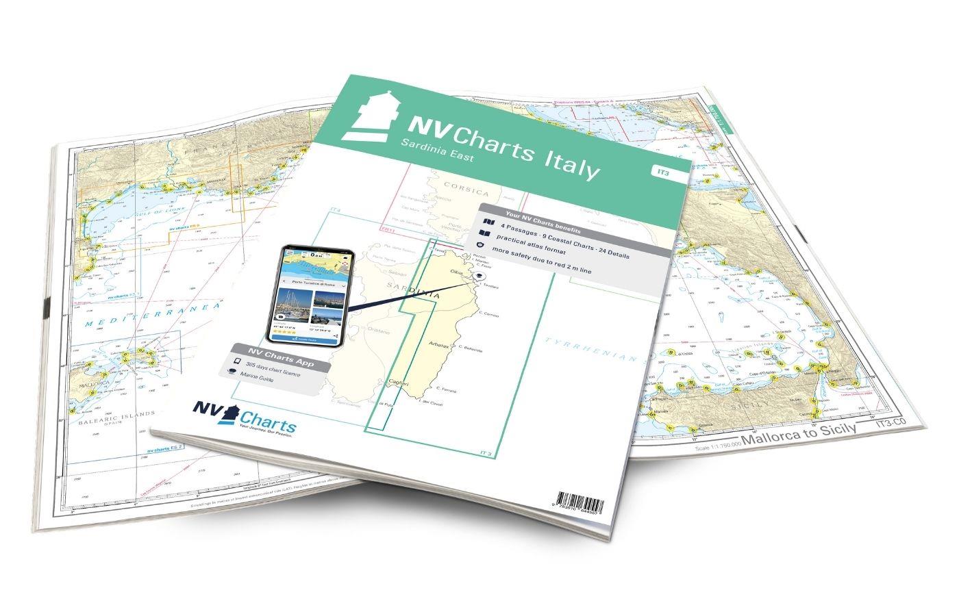
NV Charts Italy IT3: Sardinia East
De NV Kaarten Atlas IT3 vergezelt u op de oostkust van Sardinië. Dankzij de duidelijke lay-out kunnen pleziervaarders snel aanvaarroutes, havens en ankerplaatsen vinden en worden ze geïnformeerd over

€ 64,99*
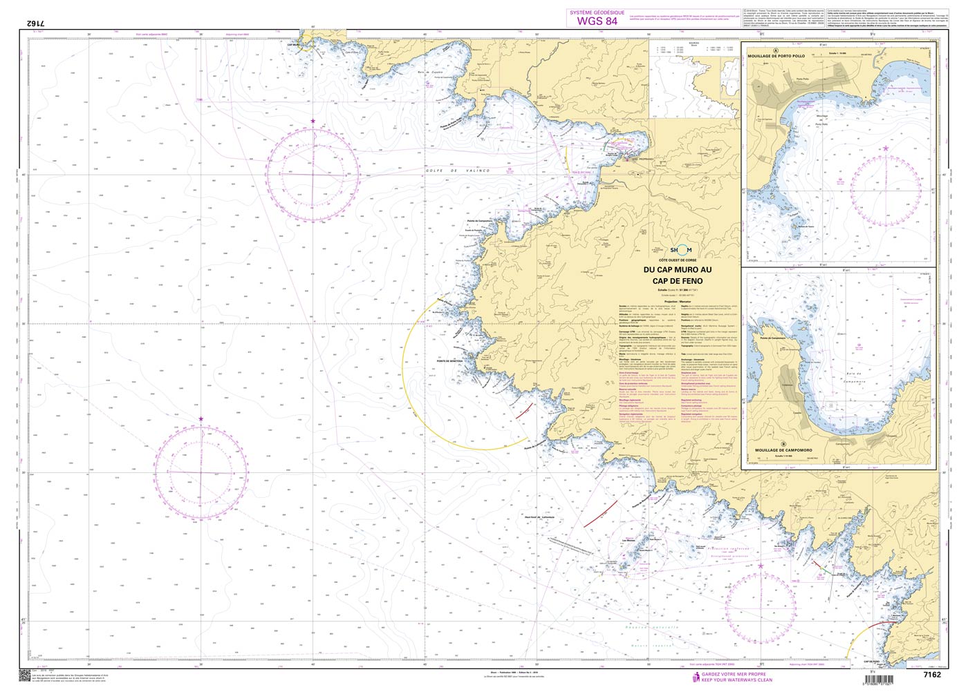
Shom 7162 - Du Cap Muro au Cap de Feno
The official French chart 7162 from the Shom is a nautical chart for the region Du Cap Muro au Cap de Feno. The chart contains Scale of 1:51300 Stable and water-repellent paper Official French data

€ 38,10*
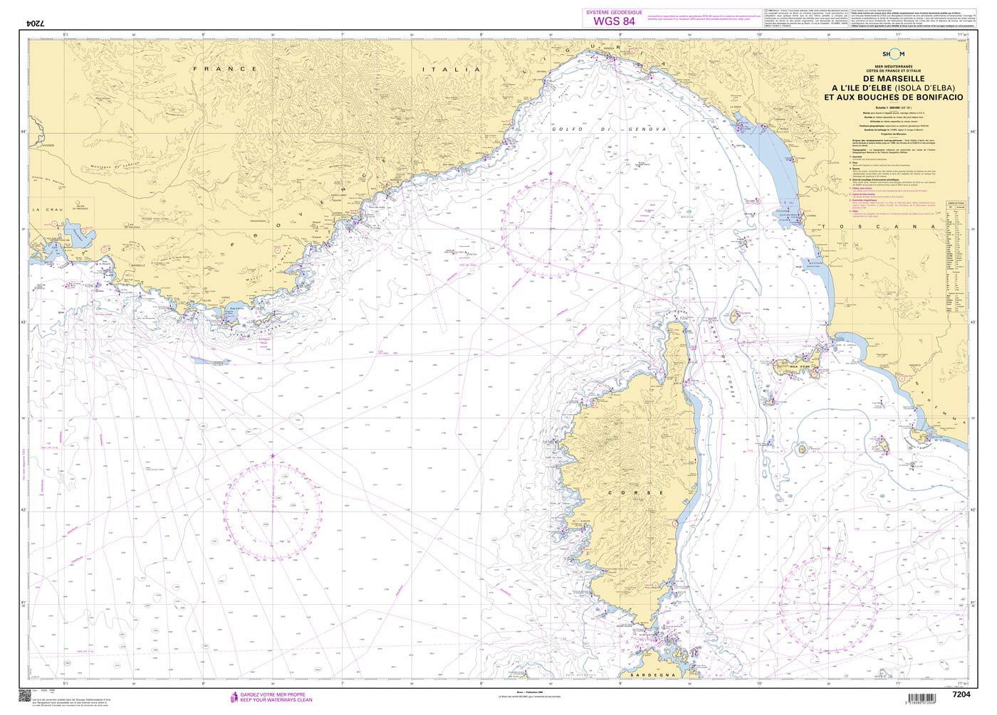
Shom 7204 - De Marseille à l'île d'Elbe (Isola d'Elba) et aux Bouches de Bonifacio
The official French chart 7204 from the Shom is a nautical chart for the region De Marseille à l'île d'Elbe (Isola d'Elba) et aux Bouches de Bonifacio. The chart contains Scale of 1:5

€ 38,10*
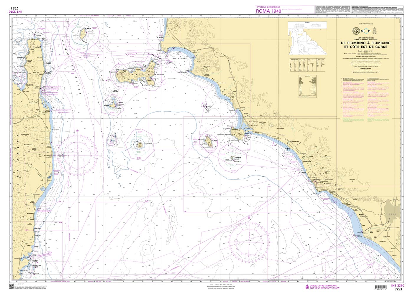
Shom 7291 - INT 3310 De Piombino à Fiumicino et côte Est de Corse
The official French chart 7291 from the Shom is a nautical chart for the region INT 3310 De Piombino à Fiumicino et côte Est de Corse. The chart contains Scale of 1:250000 Stable and water-repellent

€ 38,10*

Producten in de buurt van dit artikel

Producten in de buurt van dit artikel

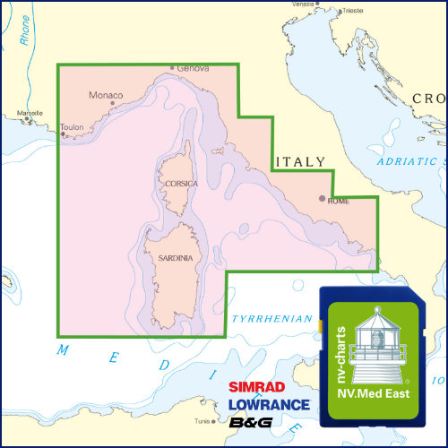
NV Plotterseekarte östliches Mittelmeer
Kaarten & havenplannen van de FR 10 FR 11 IT 1 IT 2 IT 3 en IT 4 seriesMet deze plotterchip bestrijkt NV Publishing de oostelijke Middellandse Zee van Toulon tot Napels ook zijn de gedetailleerde

€ 129,99*
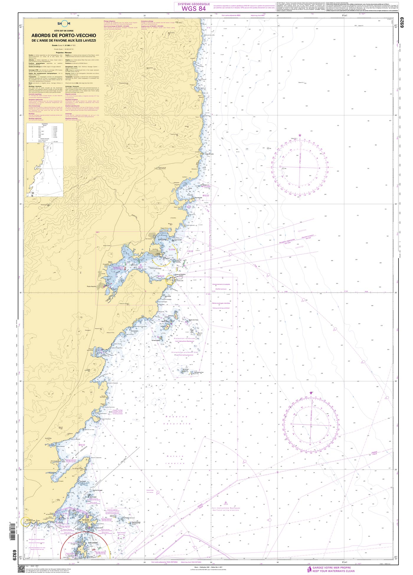
Shom 6929 - Abords de Porto-Vecchio - De l'anse de Favone aux Îles Lavezzi
The official French chart 6929 from the Shom is a nautical chart for the region Abords de Porto-Vecchio. The chart contains Scale of 1:51300 Stable and water-repellent paper Official French data WGS

€ 38,10*
Shom 7162 - Du Cap Muro au Cap de Feno
The official French chart 7162 from the Shom is a nautical chart for the region Du Cap Muro au Cap de Feno. The chart contains Scale of 1:51300 Stable and water-repellent paper Official French data

€ 38,10*
Corsica and North Sardinia
Uitgebreide vaargids voor Corsica en het noorden van SardiniëDeze gebiedsgids is geschikt voor alle watersporters die Corsica de Straat van Bonifacio en de eilandrijke noordkust van Sardinië willen ve

€ 48,00*
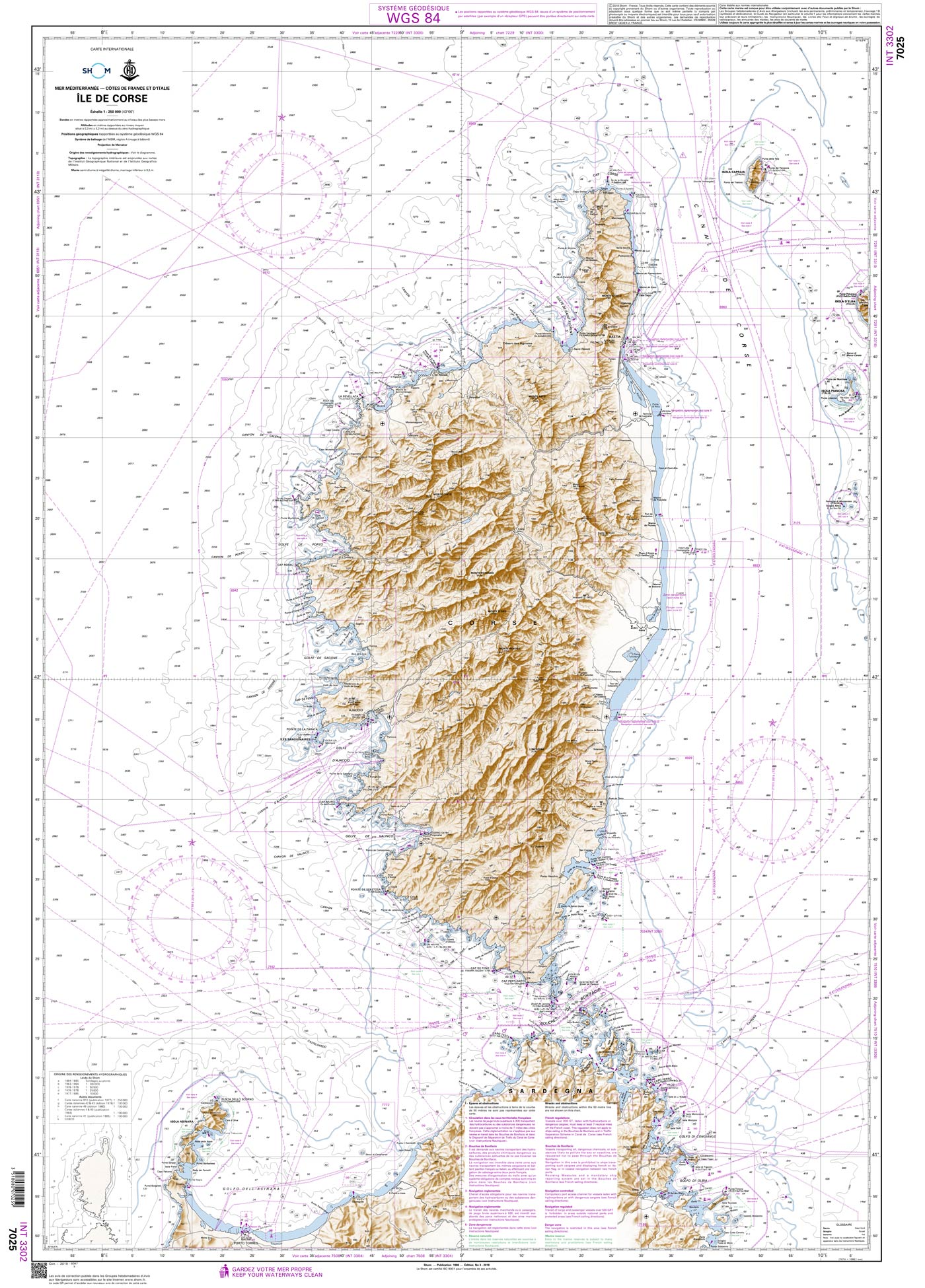
Shom 7025 - INT 3302 Île de Corse
The official French chart 7025 from the Shom is a nautical chart for the region INT 3302 Île de Corse. The chart contains Scale of 1:250000 Stable and water-repellent paper Official French data WGS

€ 38,10*
Shom 6855 - Du Phare d'Alistro à Solenzara
The official French chart 6855 from the Shom is a nautical chart for the region Du Phare d'Alistro à Solenzara. The chart contains Scale of 1:51000 Stable and water-repellent paper Official Fre

€ 38,10*
ADMIRALTY NP46 Mediterranean Pilot Vol 2 - Seehandbuch
Admiralty Sailing Directions. Mediterranean Pilot Vol. 2De zuidkust van Frankrijk van Cap Cerbère tot de Frans-Italiaanse grens de eilanden Corsica en Sardinië de westkust van Italië van de Frans-Ital

€ 109,90*

Beoordelingen

0 van 0 beoordelingen

Geef een beoordeling

Deel uw ervaringen met andere klanten.