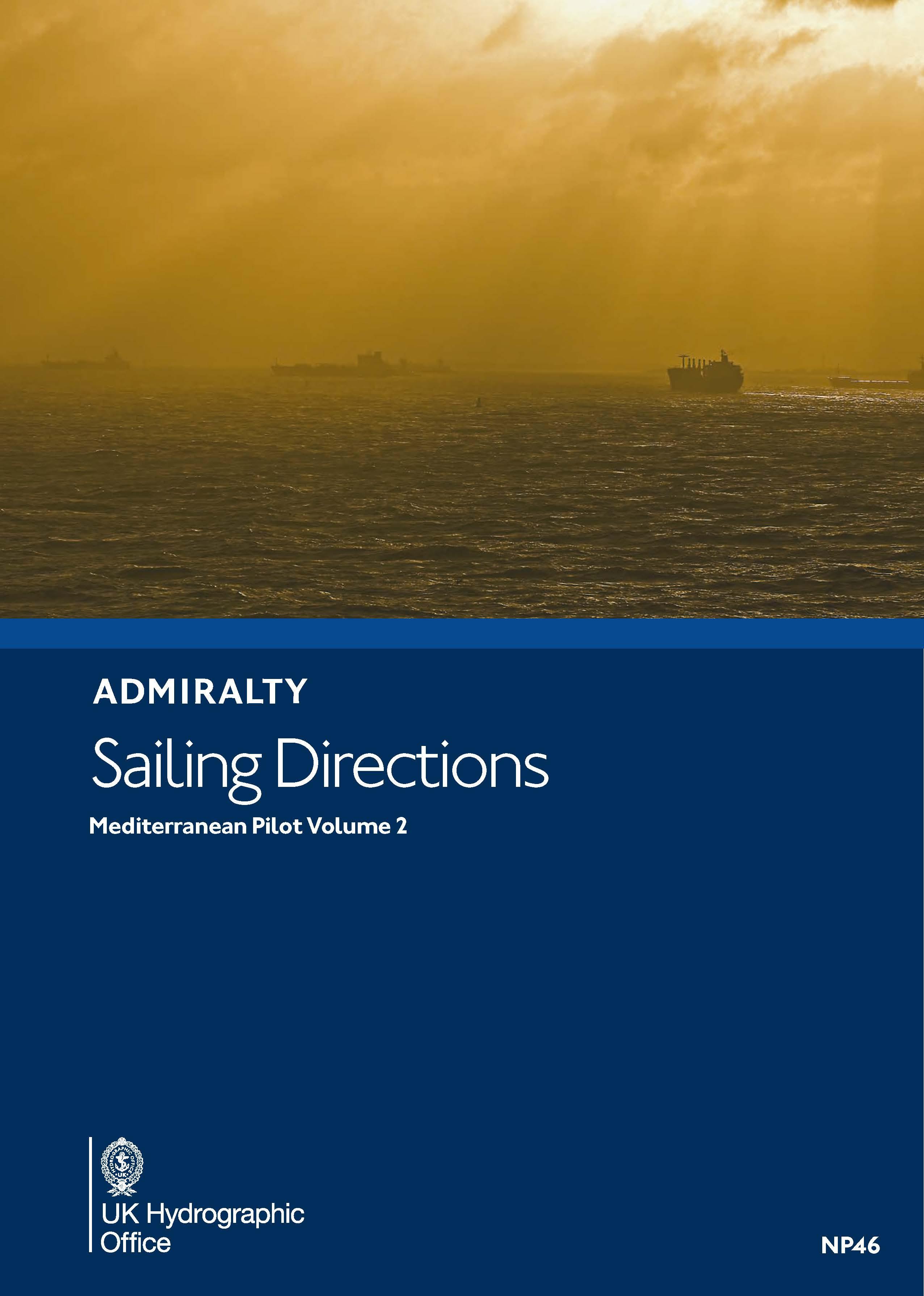
ADMIRALTY NP46 Mediterranean Pilot Vol 2 - Seehandbuch

Kaart ID: NP46
Uitgave: 2022
Uitgave datum: 21.12.2022

€ 109,90*


Productnummer: 24639

Beschrijving

Admiralty Sailing Directions. Mediterranean Pilot Vol. 2

De zuidkust van Frankrijk van Cap Cerbère tot de Frans-Italiaanse grens de eilanden Corsica en Sardinië de westkust van Italië van de Frans-Italiaanse grens tot 39º noorderbreedte inclusief Archipelago Toscano.

Gebied preview

Met behulp van onze gebiedspreview kunt u een indruk krijgen over welke geografische regio het product gaat of welke gebieden een zeekaart bestrijkt.

Verwante producten bij dit artikel

Verwante producten bij dit artikel

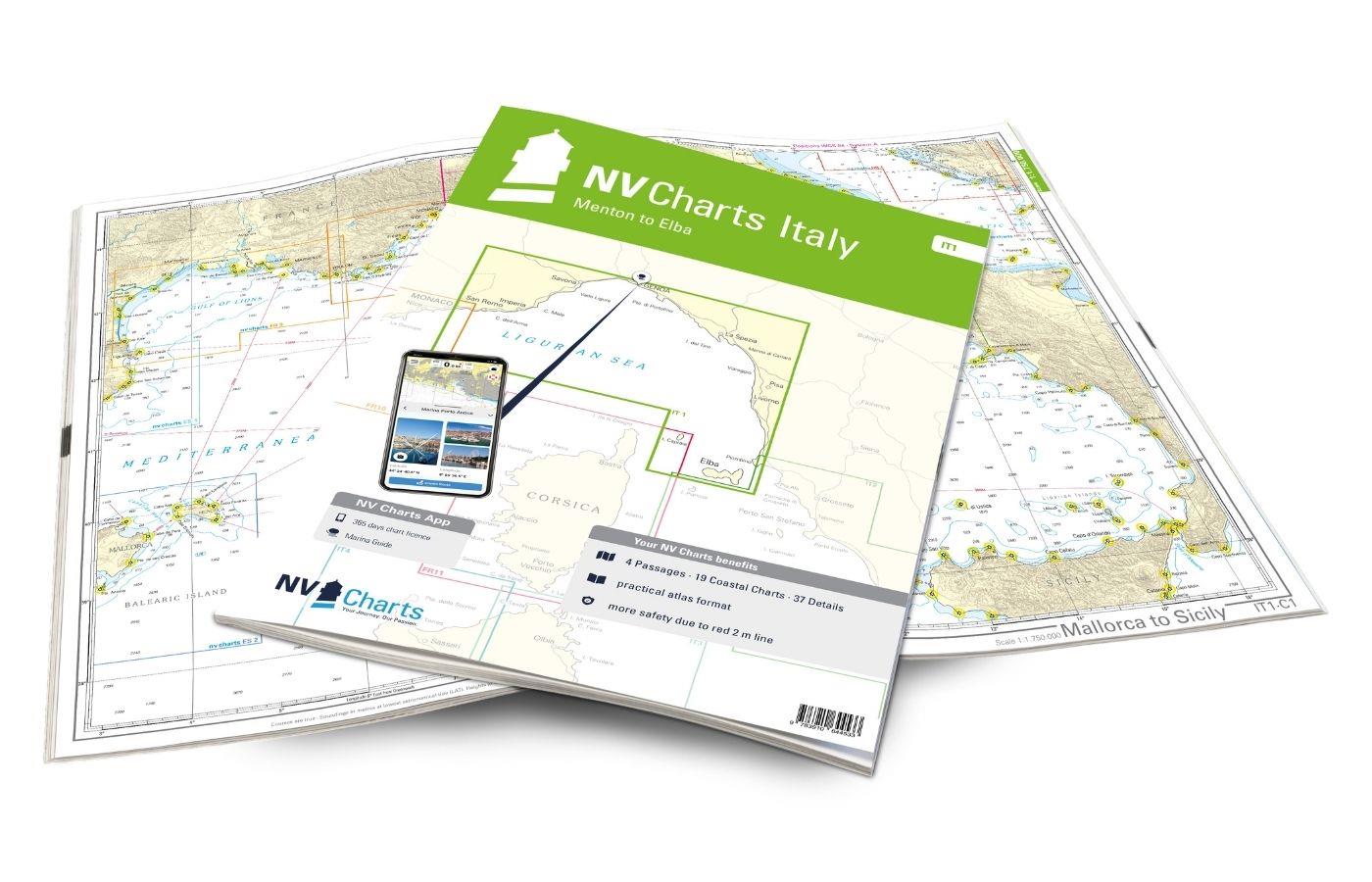
NV Charts Italy IT1 - Menton to Elba
De NV Charts kaarten Italië Atlas IT1 heeft betrekking op de droomachtige Italiaanse Rivièra van Menton tot Elba .Dankzij de duidelijke lay-out kan de recreatieve schipper snel aanvliegroutes, havens

€ 64,99*
-9 %
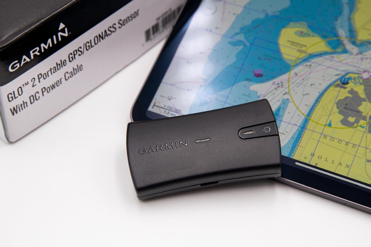
Garmin GLO 2 GPS-Empfänger mit Bluetooth Verbindung
Vanaf juni weer beschikbaarDraadloze GPS-ontvanger om positiegegevens via Bluetooth door te sturen naar tablet laptop of PC voor het uitvoeren van navigatiesoftware.BeschrijvingDe GARMIN GLO 2 ka

€ 109,00* € 119,98* (9.15% bespaard)
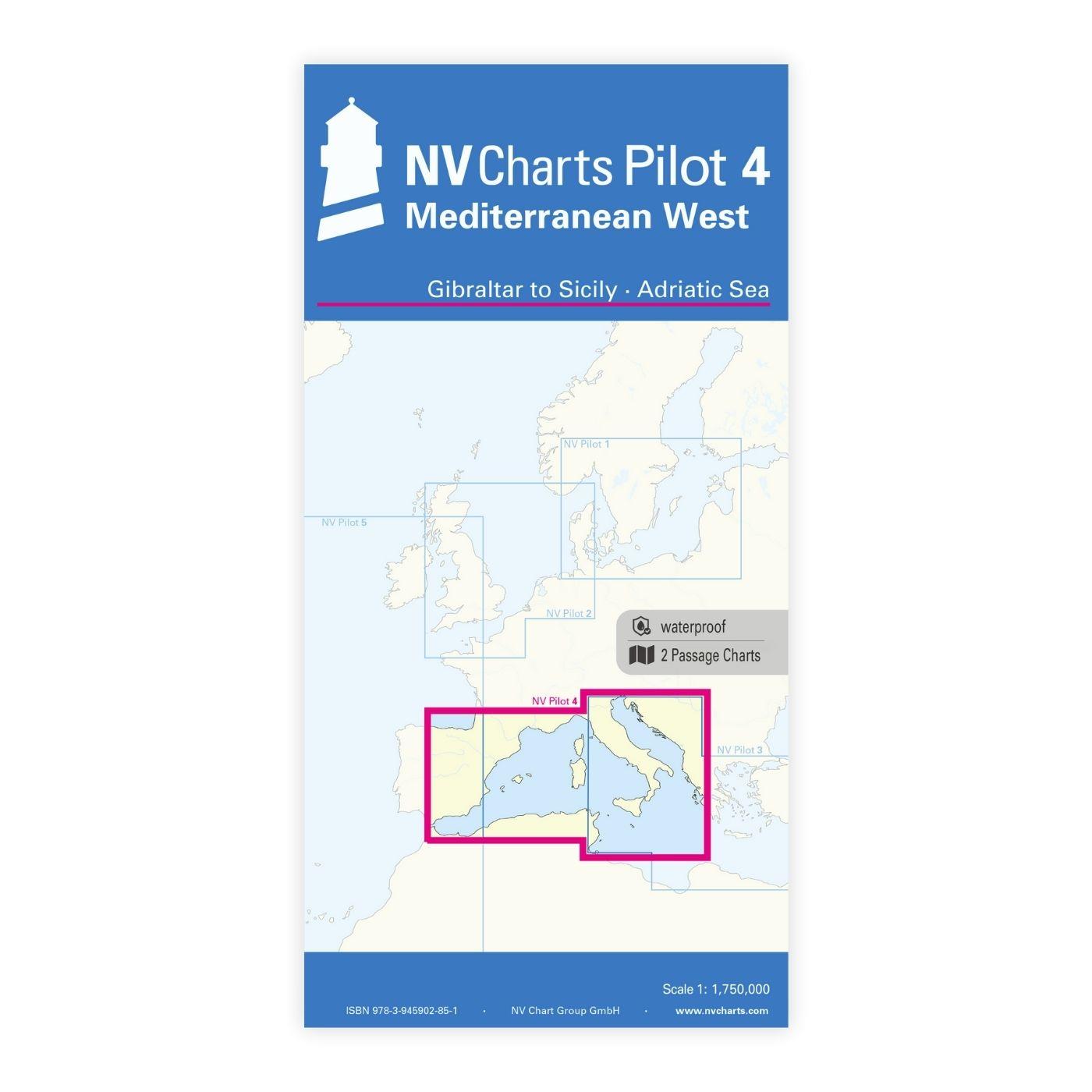
NV Charts Pilot 4 - Mediterranean West, Gibraltar to Sicily Adriatic Sea
NV Pilot 4 Middellandse Zee West Gibraltar naar Sicilië - Adriatische ZeeDe Pilot 4 is uitstekend geschikt als planningskaart voor het bevaren van de westelijke Middellandse Zee. De oostkust van Spanj

€ 24,99*
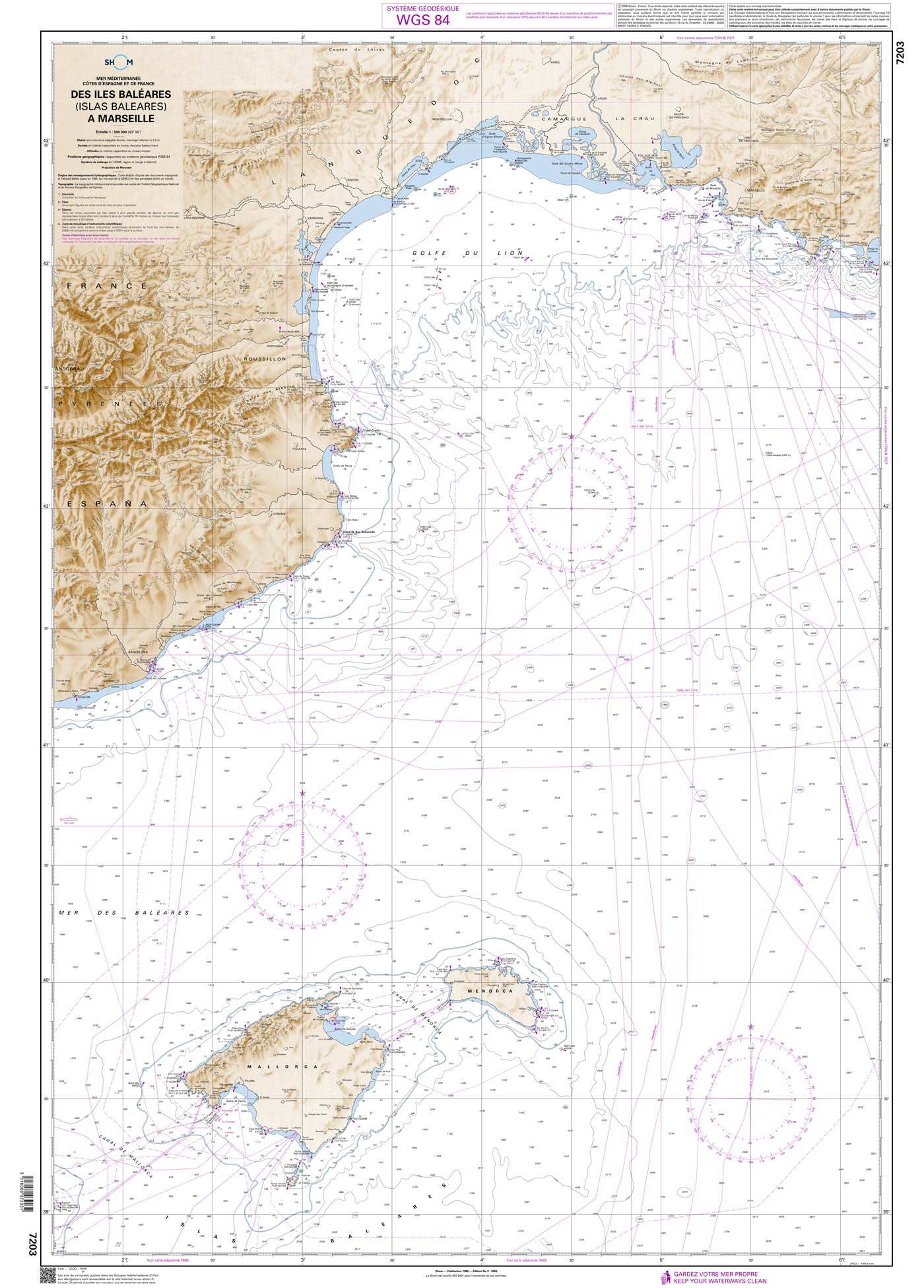
Shom 7203 - Des Îles Baléares (Islas Baleares) à Marseille
The official French chart 7203 from the Shom is a nautical chart for the region Des Îles Baléares (Islas Baleares) à Marseille. The chart contains Scale of 1:500000 Stable and water-repellent paper

€ 38,10*
Nieuw
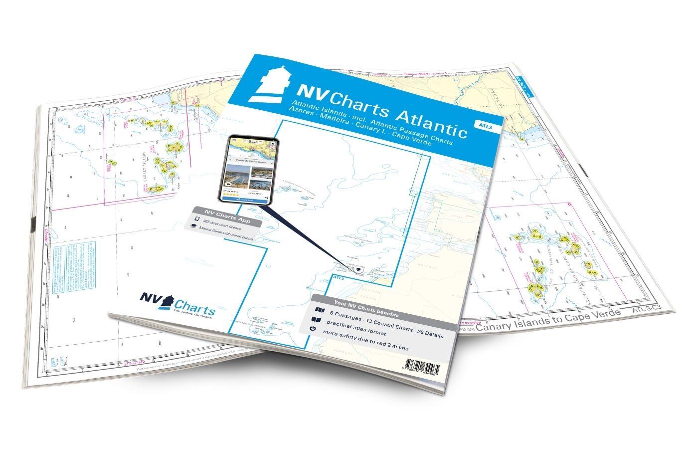
NV Charts Atlantic ATL3 - Atlantic Islands Azores - Madeira, Canary Islands, Cape Verde
Als je het grote avontuur wilt aangaan om de Atlantische Oceaan over te steken, is de NV Kaarten Atlantische Oceaan ATL3 ideaal uitgerust. Dankzij de duidelijke lay-out kan de recreatieve schipper sne

€ 74,99*
-5 %
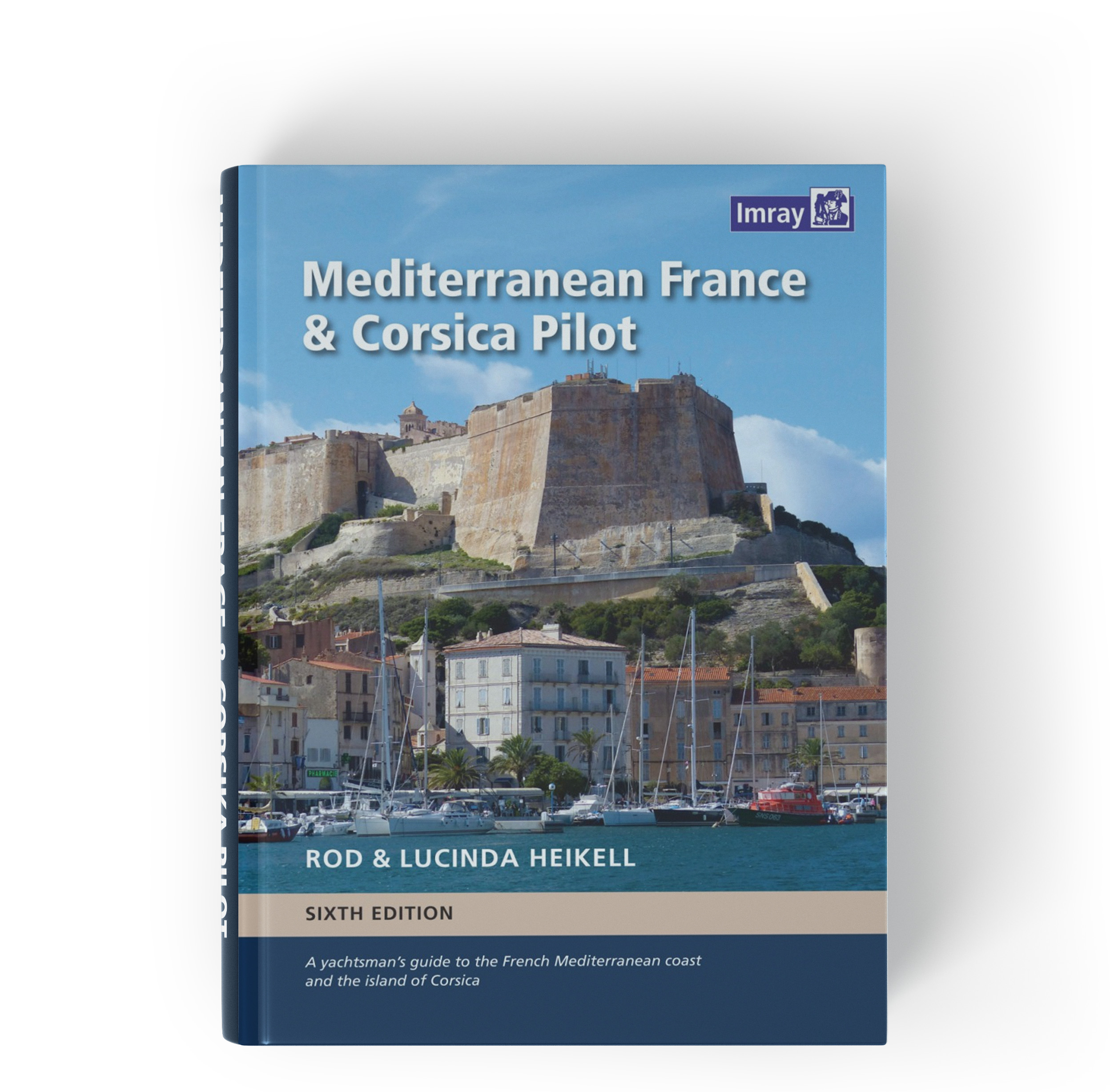
Mediterranean France and Corsica Pilot
Vaarwijzer Middellandse Zee Frankrijk en CorsicaDeze vaargids is een handige reisgezel voor de Franse Middellandse Zeekust en het eiland Corsica. Het bestrijkt de lange kustlijn die zich uitstrekt van

€ 56,90* € 59,90* (5.01% bespaard)
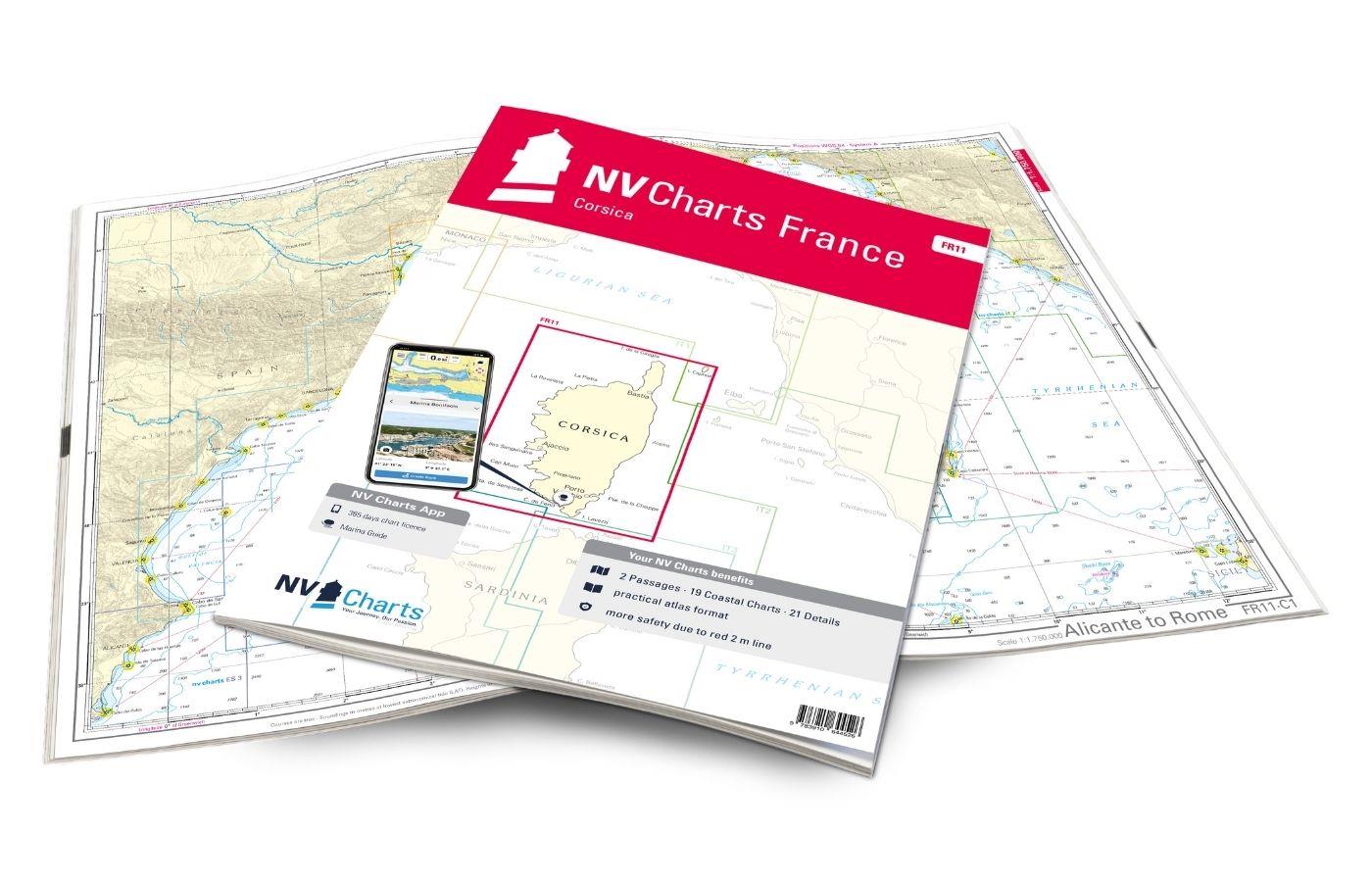
NV Charts France FR11 - Corsica
De NV Charts Kaarten Atlas FR11 dekt de prachtige eiland Corsica volledig. Dankzij de duidelijke lay-out kunnen pleziervaarders snel aanvaarroutes, havens en ankerplaatsen vinden en worden ze geïnform

€ 64,99*

Producten in de buurt van dit artikel

Producten in de buurt van dit artikel

NV Charts France FR11 - Corsica
De NV Charts Kaarten Atlas FR11 dekt de prachtige eiland Corsica volledig. Dankzij de duidelijke lay-out kunnen pleziervaarders snel aanvaarroutes, havens en ankerplaatsen vinden en worden ze geïnform

€ 64,99*
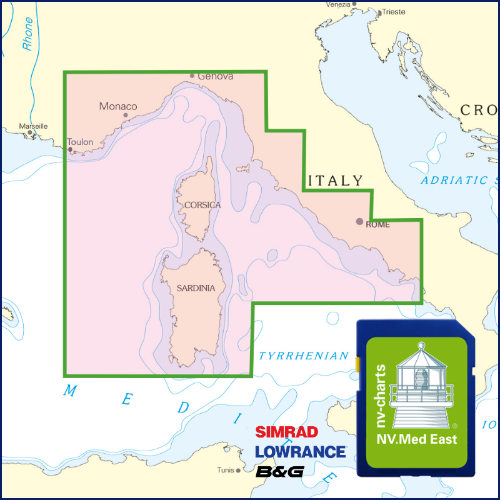
NV Plotterseekarte östliches Mittelmeer
Kaarten & havenplannen van de FR 10 FR 11 IT 1 IT 2 IT 3 en IT 4 seriesMet deze plotterchip bestrijkt NV Publishing de oostelijke Middellandse Zee van Toulon tot Napels ook zijn de gedetailleerde

€ 129,99*
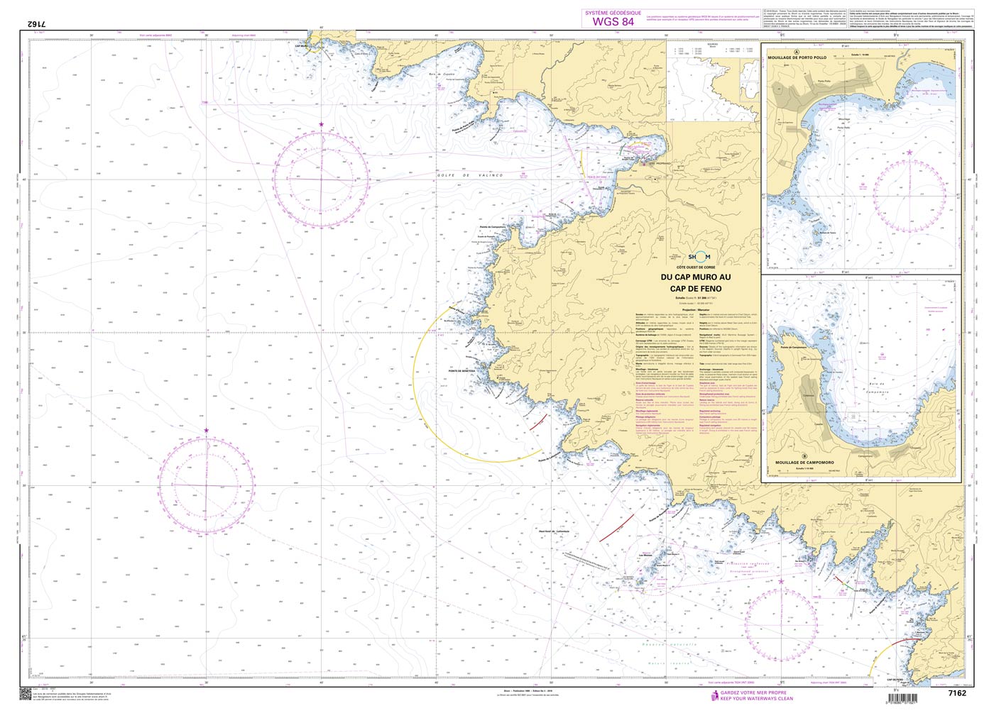
Shom 7162 - Du Cap Muro au Cap de Feno
The official French chart 7162 from the Shom is a nautical chart for the region Du Cap Muro au Cap de Feno. The chart contains Scale of 1:51300 Stable and water-repellent paper Official French data

€ 38,10*
Corsica and North Sardinia
Uitgebreide vaargids voor Corsica en het noorden van SardiniëDeze gebiedsgids is geschikt voor alle watersporters die Corsica de Straat van Bonifacio en de eilandrijke noordkust van Sardinië willen ve

€ 48,00*
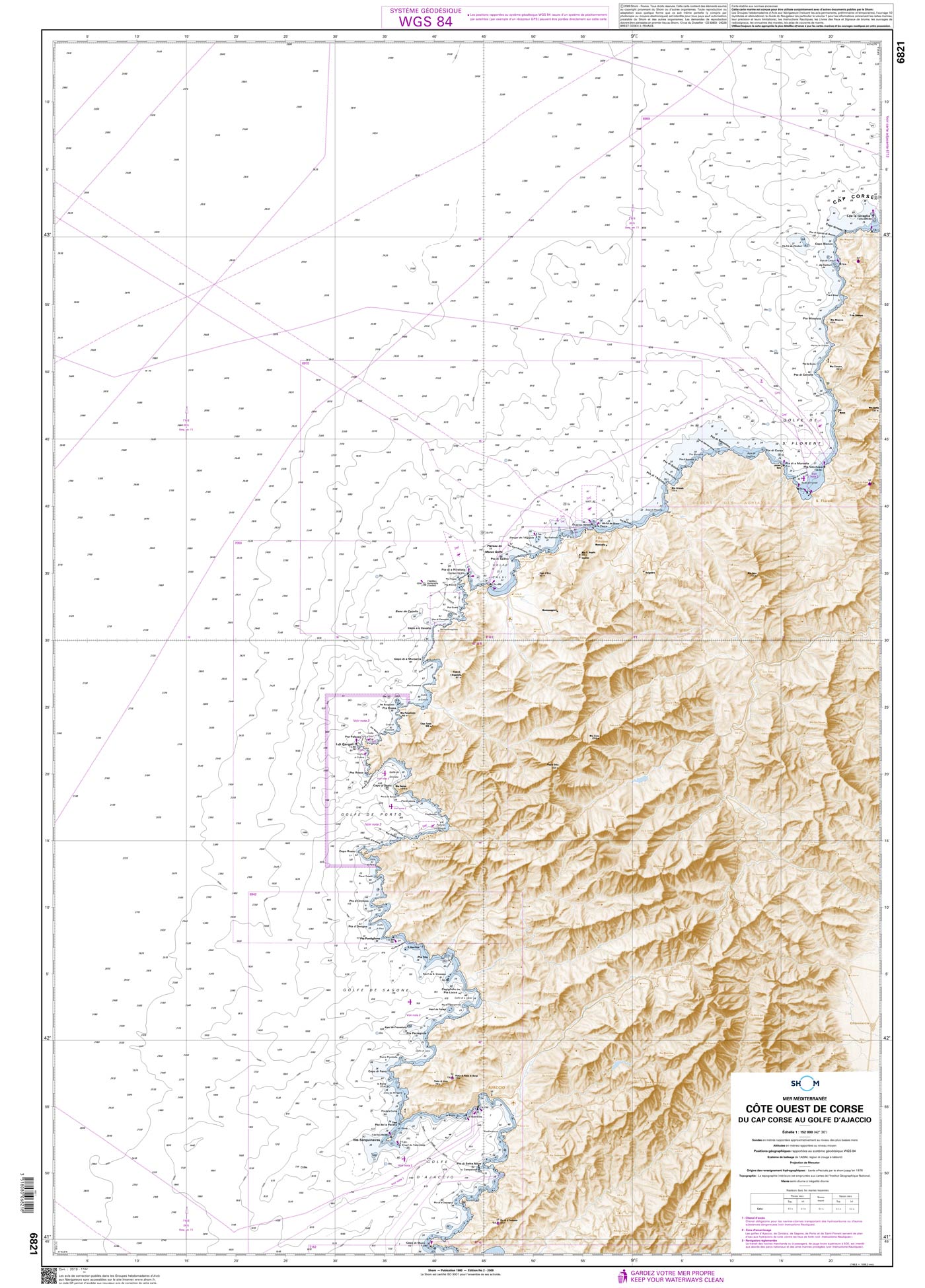
Shom 6821 - Côte Ouest de Corse - Du Cap Corse au Golfe d'Ajaccio
The official French chart 6821 from the Shom is a nautical chart for the region Côte Ouest de Corse. The chart contains Scale of 1:152000 Stable and water-repellent paper Official French data WGS 84

€ 38,10*
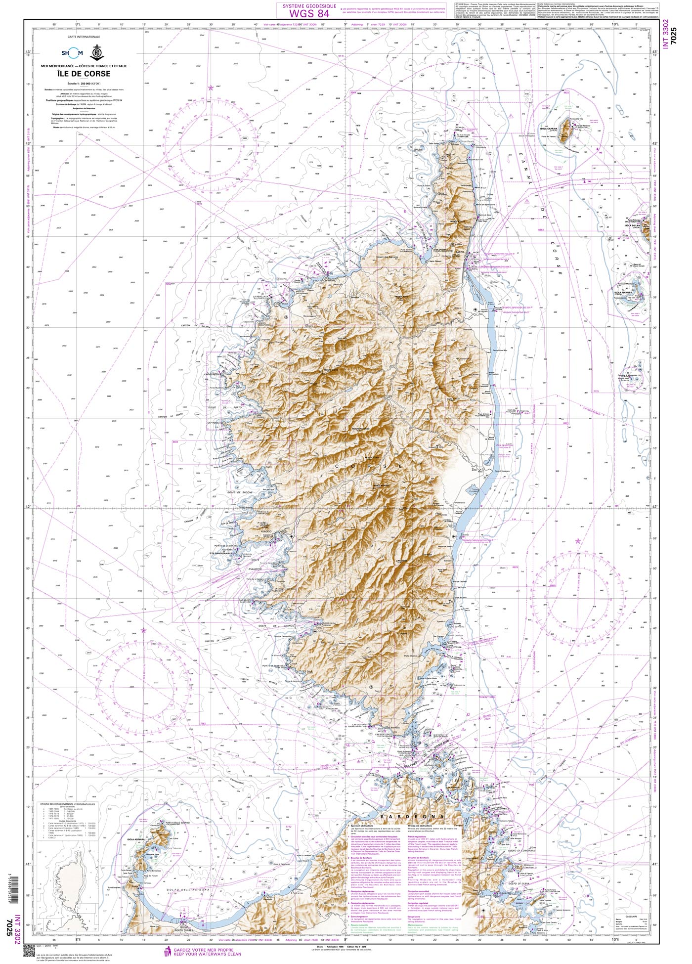
Shom 7025 - INT 3302 Île de Corse
The official French chart 7025 from the Shom is a nautical chart for the region INT 3302 Île de Corse. The chart contains Scale of 1:250000 Stable and water-repellent paper Official French data WGS

€ 38,10*
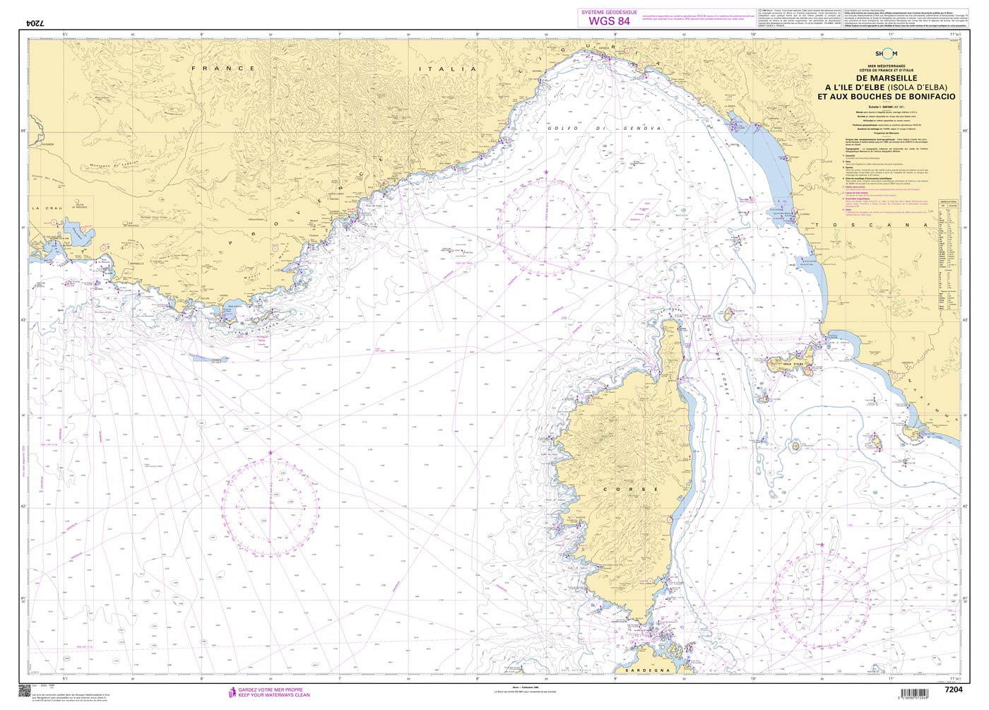
Shom 7204 - De Marseille à l'île d'Elbe (Isola d'Elba) et aux Bouches de Bonifacio
The official French chart 7204 from the Shom is a nautical chart for the region De Marseille à l'île d'Elbe (Isola d'Elba) et aux Bouches de Bonifacio. The chart contains Scale of 1:5

€ 38,10*
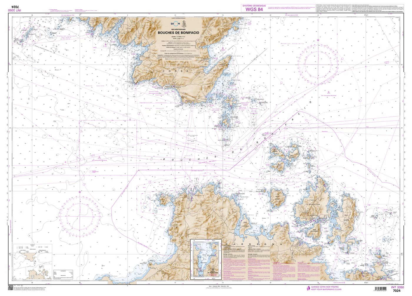
Shom 7024 - INT 3350 Bouches de Bonifacio
The official French chart 7024 from the Shom is a nautical chart for the region INT 3350 Bouches de Bonifacio. The chart contains Scale of 1:51500 Stable and water-repellent paper Official French da

€ 38,10*
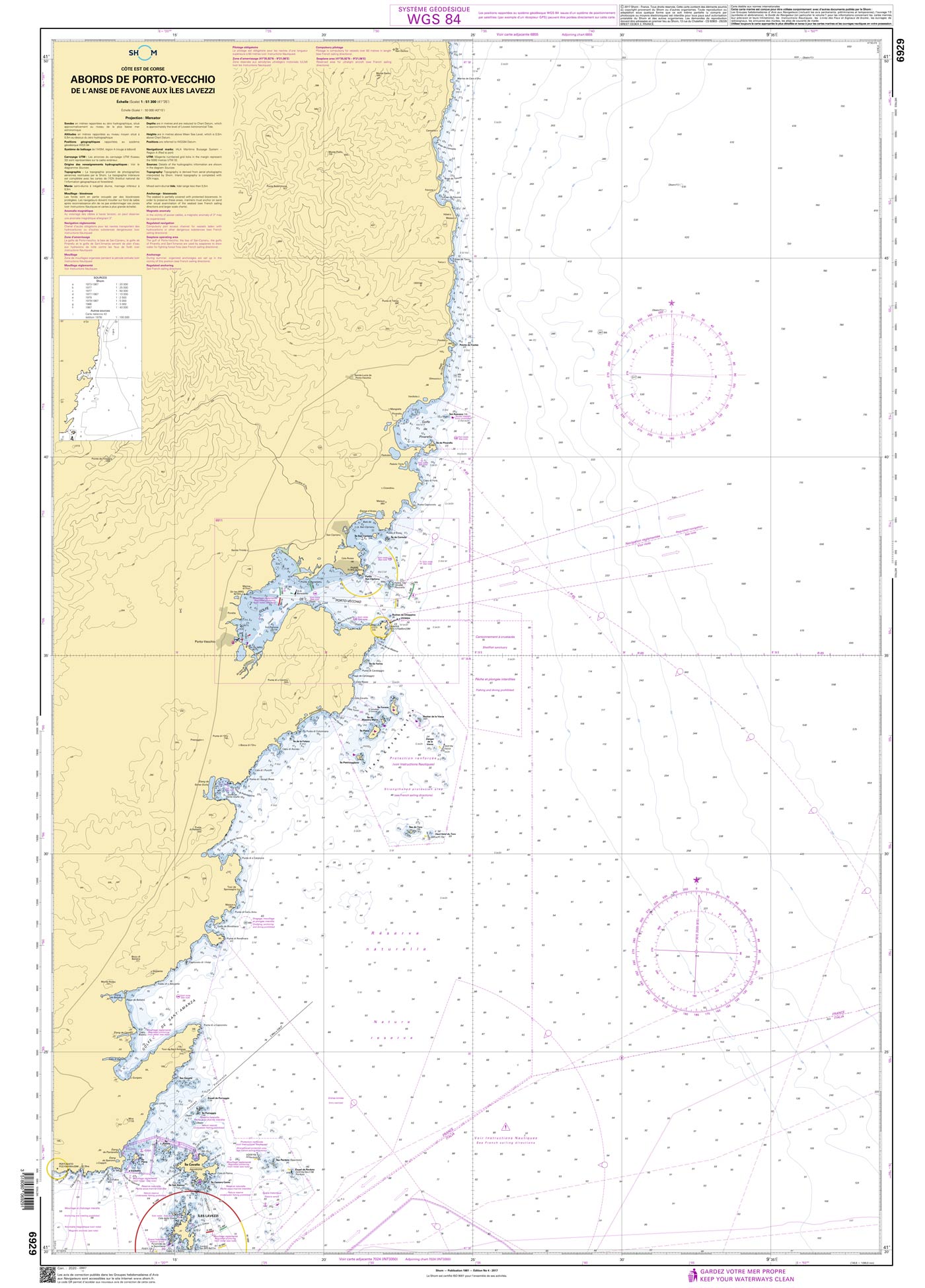
Shom 6929 - Abords de Porto-Vecchio - De l'anse de Favone aux Îles Lavezzi
The official French chart 6929 from the Shom is a nautical chart for the region Abords de Porto-Vecchio. The chart contains Scale of 1:51300 Stable and water-repellent paper Official French data WGS

€ 38,10*
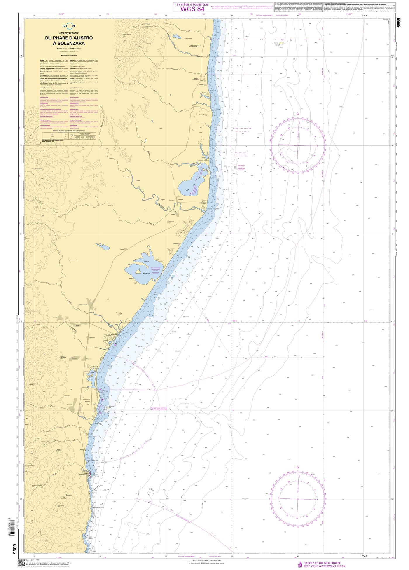
Shom 6855 - Du Phare d'Alistro à Solenzara
The official French chart 6855 from the Shom is a nautical chart for the region Du Phare d'Alistro à Solenzara. The chart contains Scale of 1:51000 Stable and water-repellent paper Official Fre

€ 38,10*
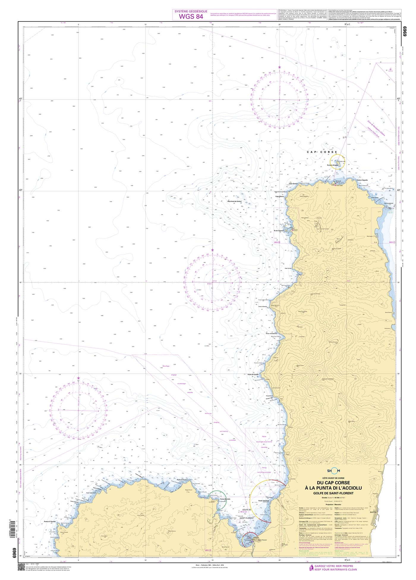
Shom 6969 - Du Cap Corse à la Punta di l'Acciolu - Golfe de Saint-Florent
The official French chart 6969 from the Shom is a nautical chart for the region Du Cap Corse à la Punta di l'Acciolu. The chart contains Scale of 1:50300 Stable and water-repellent paper Offici

€ 38,10*

Beoordelingen

0 van 0 beoordelingen

Geef een beoordeling

Deel uw ervaringen met andere klanten.