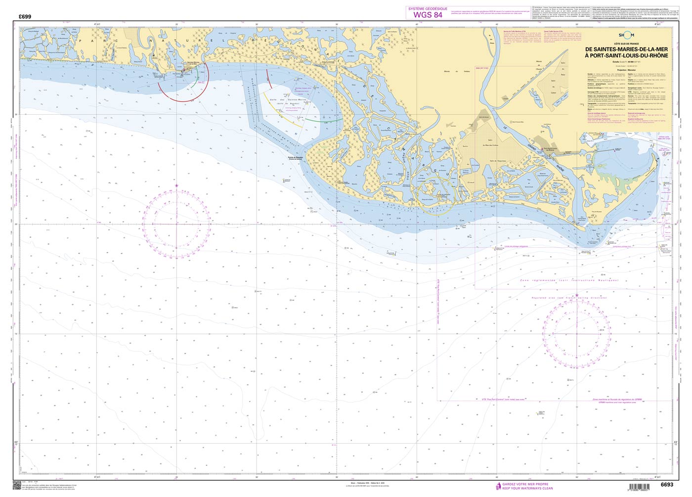
Shom 6693 - De Saintes-Maries-de-la-Mer à Port-Saint-Louis-du-Rhône

Kaart ID: Shom 6693
Uitgave: Edition n° 4 - 2018 - Dernière correction : 5 - carte marine classique, non pliée, format A0, tirage 2022
Uitgave datum: 31.12.2004
Schaal 1:49.900

€ 38,10*

Onmiddellijk beschikbaar (Print on Demand), levertijd 1-3 dagen


Productnummer: 20846

Beschrijving

The official French chart 6693 from the Shom is a nautical chart for the region De Saintes-Maries-de-la-Mer à Port-Saint-Louis-du-Rhône.

The chart contains

  • Scale of 1:49900
  • Stable and water-repellent paper
  • Official French data
  • WGS 84

Chart format

The French nautical charts are printed on customer’s request (print on demand service). This has the advantage that ongoing corrections are taken into account, so the latest version of the Chart is always available.

The charts provide an overview of a specific region. They are well suited for planning a trip. All charts are printed on stable, water-repellent paper. This chart has the following edition information:
Edition n° 4 - 2018 - Dernière correction : 5 - carte marine classique, non pliée, format A0, tirage 2022

Update

The Shom charts are published in new editions irregularly, so the date of correction may be several years ago. You can correct the charts manually with the nautical news.

The Shom

The Shom is a French agency belonging to the country's Ministry of Defence. It is the heir to the world's first official hydrographic service, which dates back to 1720. Shom's portfolio includes almost 900 paper charts. It has its headquarters in the city of Brest in Brittany.

Our recommendation

If you value more up-to-date charts and also digital versions, we recommend the atlases from NV Charts.

Gebied preview

Met behulp van onze gebiedspreview kunt u een indruk krijgen over welke geografische regio het product gaat of welke gebieden een zeekaart bestrijkt.

Verwante producten bij dit artikel

Verwante producten bij dit artikel

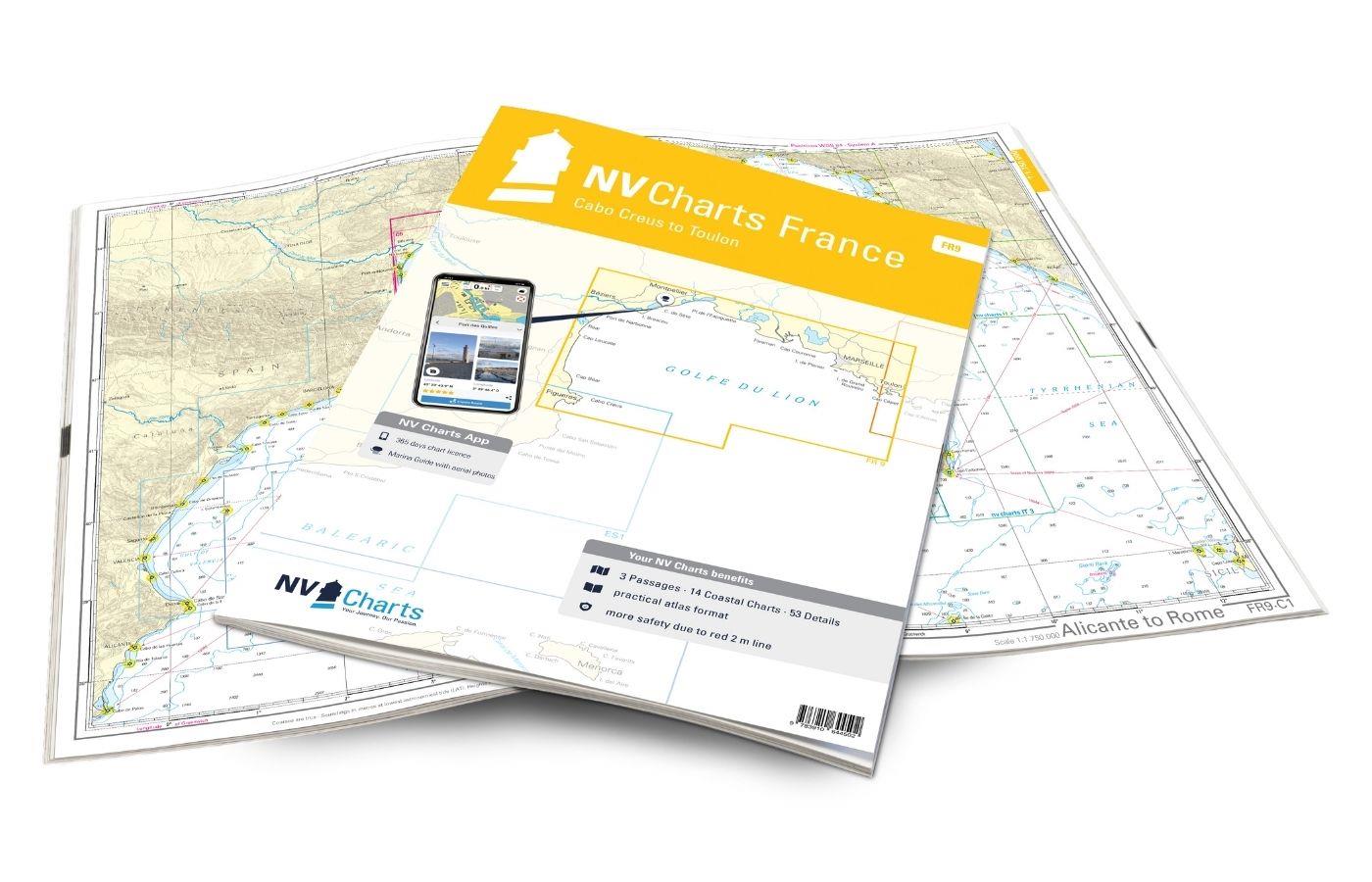
NV Charts France FR9 - Cabo Creus to Toulon
Met de NV Charts Kaarten Frankrijk Atlas FR9 heb je een betrouwbare metgezel aan je zijde van de noordelijke Middellandse Zeekust van Spanje tot Toulon in Frankrijk. Dankzij de duidelijke lay-out kunn

€ 64,99*
-5 %
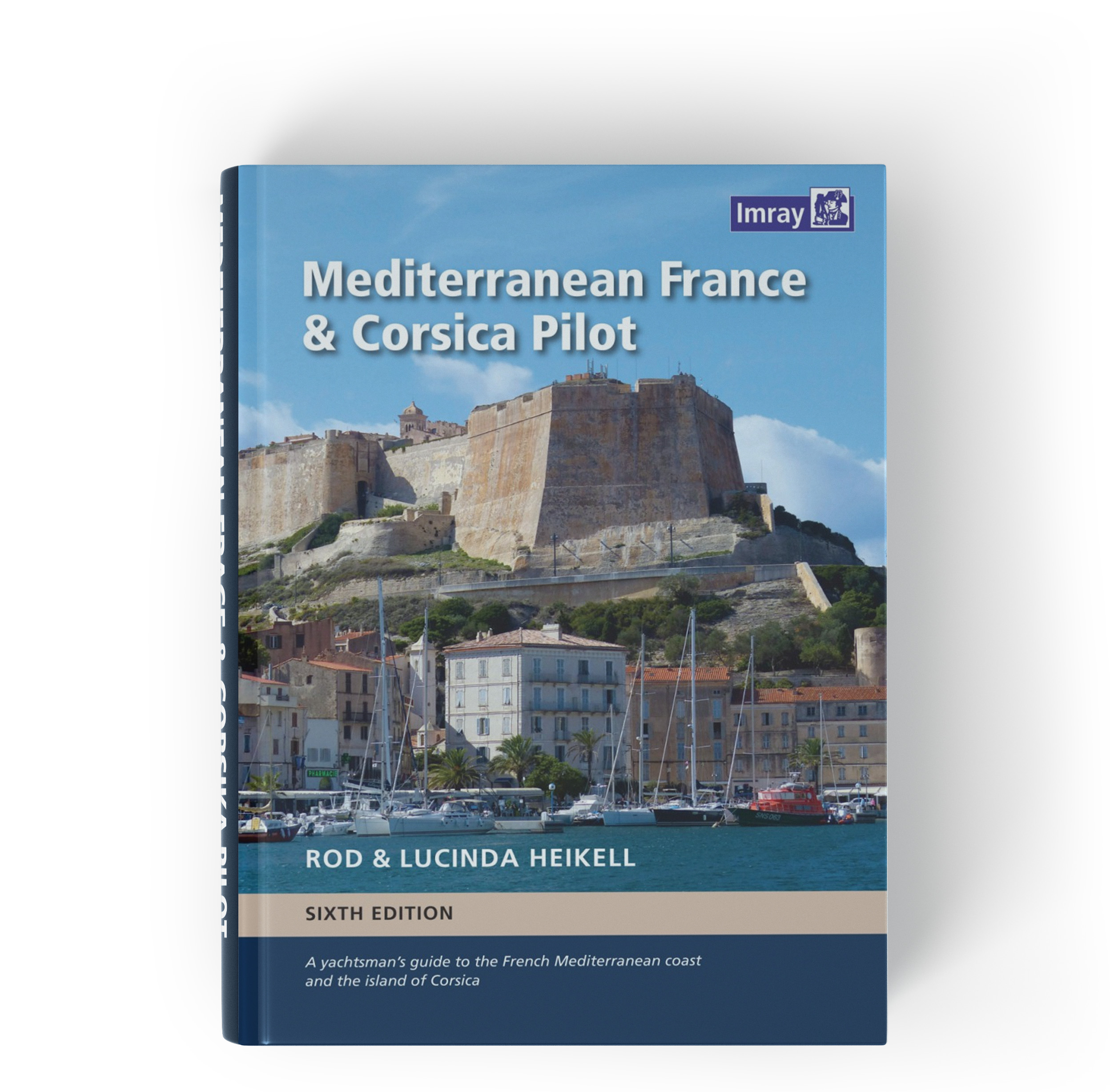
Mediterranean France and Corsica Pilot
Vaarwijzer Middellandse Zee Frankrijk en CorsicaDeze vaargids is een handige reisgezel voor de Franse Middellandse Zeekust en het eiland Corsica. Het bestrijkt de lange kustlijn die zich uitstrekt van

€ 56,90* € 59,90* (5.01% bespaard)
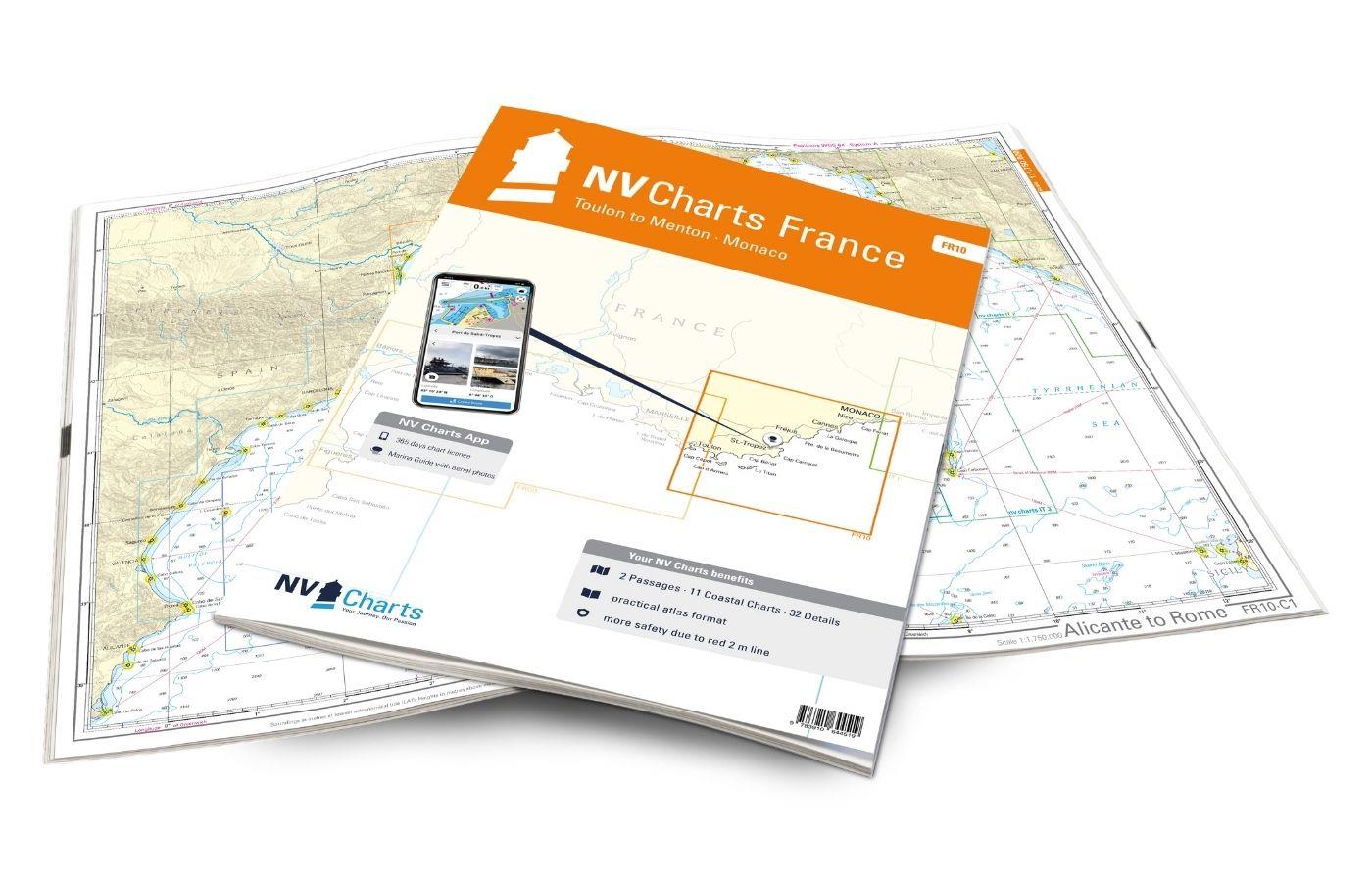
NV Charts France FR10 - Toulon to Menton, Monaco
De NV Kaartenatlas FR10 is uw betrouwbare partner voor de Côte d'Azur. Dankzij de duidelijke lay-out kan de sportieve schipper snel aanvaarroutes, havens en ankerplaatsen vinden en wordt hij

€ 64,99*
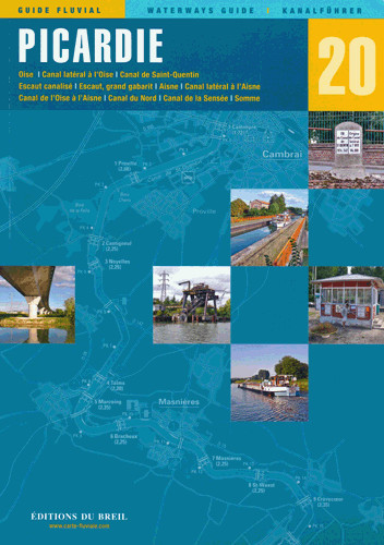
EDB 20 Picardie
Oise Canal latéral à l'Oise Canal de Saint-Quentin Escaut canalisé Escaut grand gabarit Aisne Canal latéral à l'Aisne Canal de l'Oise à l'Aisne Canal du Nord Canal de la Sensée Somme.Het Picardische p

€ 25,50*
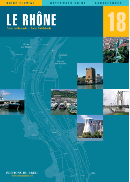
EDB 18 Le Rhone
Le Petit Rhône canal de Barcarin canal Saint-Louis.De Rhône is de 'grand fleuve' (grote rivier) van de Franse Provence. De rivier is soms zeer breed en krachtig en moet met de nodige voorzichtigheid w

€ 24,00*
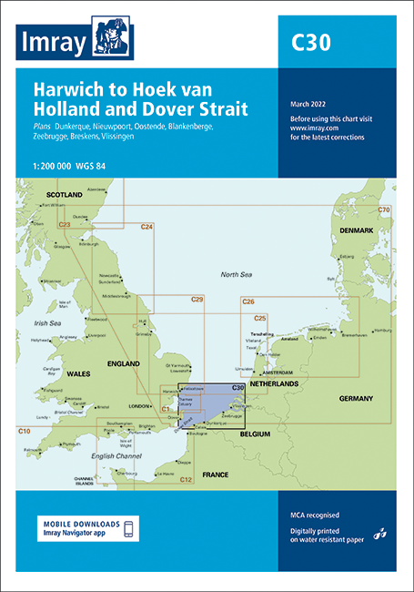
IMRAY CHART C30 Harwich to Hoek van Holland & Dover Strait
De uitklapbare kaart C30 'Harwich tot Hoek van Holland en het Nauw van Calais' bestrijkt de kust van België. Daarnaast zijn ook het noordelijkste puntje van Frankrijk het zuiden van Nederland en een k

€ 34,90*
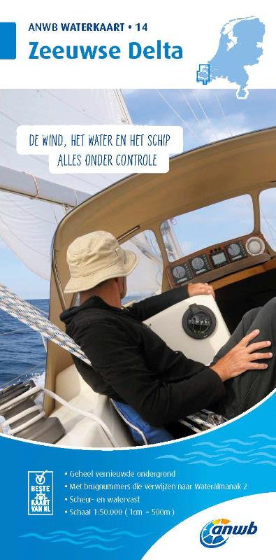
ANWB Waterkaart 14 - Zeeuwse Delta
Kaart van het Nederlandse binnenland  Zeeuwse Delta 'De Winde het Water en het Schip alles onder controle' - 'De wind het water en het schip alles onder controle'. Vouwkaart voor de Nederlandse bi

€ 17,99*

Beoordelingen

0 van 0 beoordelingen

Geef een beoordeling

Deel uw ervaringen met andere klanten.